|
|
Fri. Aug 10, 2001 (5a start)
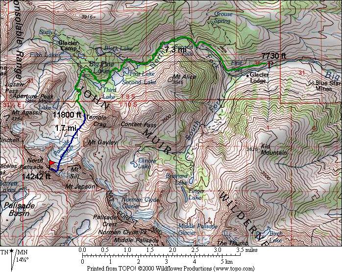
| RT Distance: 21.0 miles
| Elev. Gain: 6565
ft.
|
From Sam Mack Meadow, there is a good use trail that leads to the lower reaches of the lateral morraine
on the left (east) side of Palisade Glacier. From there, a number of cairns mark the way (although
not really necessary) to the top of the morraine. Some elevation loss can be avoided by traversing
along the glacier at the base of Mt. Gayley.
The tricky part of the climb is the conditions of the bergschrund at the base of the U-Notch. If the
'schrund is open as it usually is by mid summer, it can be bypassed via the rocks on the right side.
This 1/2 pitch was the hardest climbing of the whole route the time I was there, so it shouldn't be
taken lightly. A rope and partner are recommended unless you are comfortable soloing 5.5+. The U-Notch
may be icy (and thus dangerous) or soft (and thus fun). Ice axe and crampons highly recommended in
either case. If icy, a rope might be necessary with a fixed belay for safety. The climbing in the
chimney above the U-Notch is enjoyable 5.4 or so. It can be climbed in a single pitch with a 60m rope
(and two rappels on the way down). It can also be free climbed by the more experienced with relative
ease as the holds are quite good the whole way.
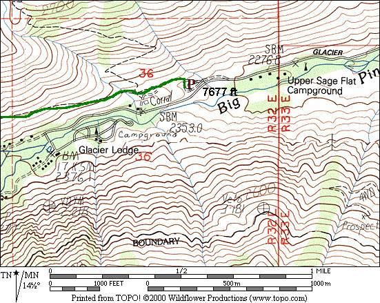
5a start from the trailhead at the paved parking lot (not the overflow dirt lot a little
higher up).
Participants
Dayhikes
Multi-day Trip Reports
For corrections or comments, or to have other trip reports for this peak referenced here,
please send feedback to: snwbord@hotmail.com