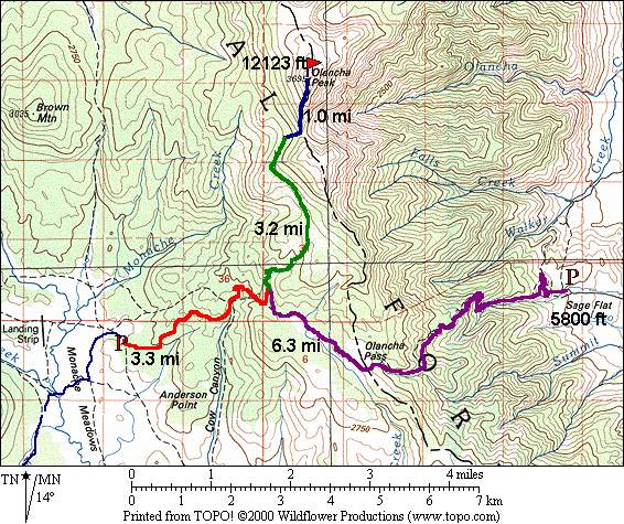
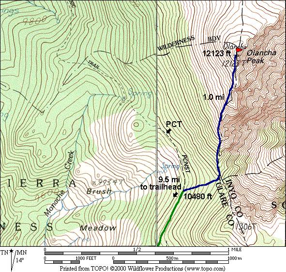
Olancha Peak - 12,123 ft. | ||
Mon. Aug 13, 2001 (6a start) | RT Distance: 21.0/15.0 miles | Elev. Gain: 6323 ft. |
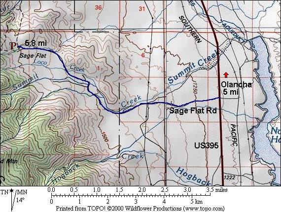
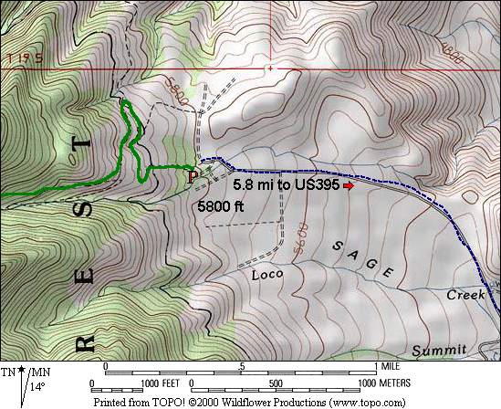
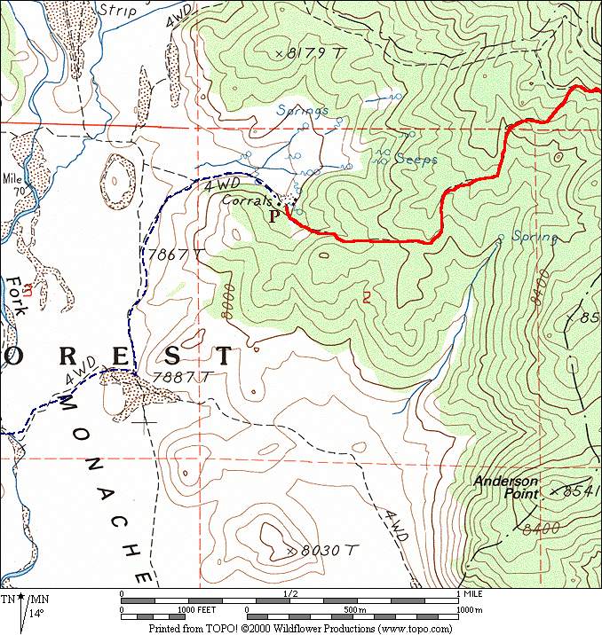
| Map | Detail Map | Sage Flat Driving / Parking | Monache Meadows Driving / Parking | Climbing Route | Etymology |
|---|
6a start from Sage Flat trailhead.
| Bob Burd |
| Time | Date | Names |
|---|---|---|
| 8hr | Jul 2, 2000 | Mike McDermitt |
| 8hr:45m | Aug 13, 2001 | Bob Burd |
| 15hr+ | May 8, 1999 | Erik Siering/Bob Sumner |
|
|